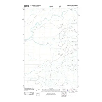
2011 Map of Salmon River East
USGS Topo · Published 2011About this map
Queets River and its complex network of tributaries define this Olympic Peninsula landscape as it was mapped in 2011. The drainage patterns of Matheny Creek, Phelan Creek, and Mud Creek show a rugged terrain dominated by water and forestry management. The presence of the Queets Corridor and Queets Campground in the northern portion indicates the area's significance for conservation and recreation.
Find a feature on this map
25 named features on this map. Tap any name to fly to it.
Don’t see what you’re looking for? This feature index may not catch every label — zoom into the map to look around manually.
Map Details
Editions of this 2011 Salmon River East Map
This is the sole edition of this map. No revisions or reprints were ever made.
Other maps of this area

1921 · Quinault Lake
USGS Topo · 1:62,500

1943 · Copalis Beach
USGS Topo · 1:250,000

1951 · Copalis Beach
USGS Topo · 1:250,000

1955 · Macafee Hill
USGS Topo · 1:62,500

1955 · Quinault Lake
USGS Topo · 1:62,500

1956 · Kloochman Rock
USGS Topo · 1:62,500

1956 · Salmon River
USGS Topo · 1:62,500

1957 · Copalis Beach
USGS Topo · 1:250,000

1958 · Seattle
USGS Topo · 1:250,000

1962 · Seattle
USGS Topo · 1:250,000