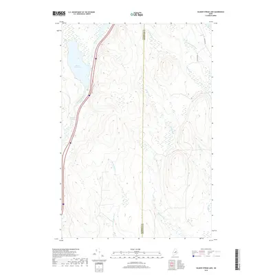
2018 Map of Salmon Stream Lake
USGS Topo · Published 2018About this map
Salmon Stream Lake and the marshy expanses of the Wadleigh Deadwater dominate the western portion of this Maine landscape, where the waters of Salmon Stream flow south toward the Penobscot. This 2018 survey captures a terrain defined by its complex drainage network, split by the north-south dividing line between Penobscot and Aroostook counties. To the east, the map reveals a web of smaller tributaries including Little Molunkus Stream, Hersey Brook, and Wyman Brook. Transportation is concentrated along the western corridor near the lake, while the eastern forest is accessible via local routes like Aroostook Rd and Sugar Camp Rd, providing a clear look at the timber and watershed geography of the North Woods.
Find a feature on this map
13 named features on this map. Tap any name to fly to it.
Don’t see what you’re looking for? This feature index may not catch every label — zoom into the map to look around manually.
Map Details
Editions of this 2018 Salmon Stream Lake Map
This is the sole edition of this map. No revisions or reprints were ever made.
Other maps of this area

1940 · Sherman
USGS Topo · 1:62,500

1940 · Mattawamkeag
USGS Topo · 1:62,500

1942 · Mattawamkeag
USGS Topo · 1:62,500

1942 · Sherman
USGS Topo · 1:62,500

1951 · Millinocket
USGS Topo · 1:62,500

1953 · Stacyville
USGS Topo · 1:62,500

1954 · Millinocket
USGS Topo · 1:250,000

1958 · Millinocket
USGS Topo · 1:250,000

1960 · Millinocket
USGS Topo · 1:250,000
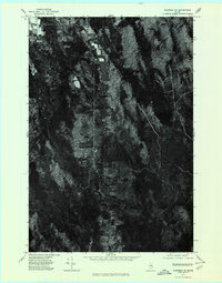
1975 · Sherman SE
USGS Topo · 1:24,000