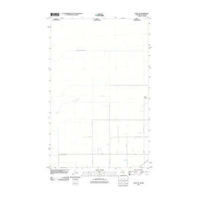
2010 Map of Salol NE
USGS Topo · Published 2010About this map
Lost River meanders across this rural section of Roseau County just south of the Canada United States border. The landscape is defined by an extensive network of managed waterways, including Judicial Ditch Number Sixtyone and County Ditch Number Eighteen, which reflect the region's long-standing reliance on drainage for agriculture and land management. The intersection of County Hwy-133 and County Hwy-13 serves as a primary local junction. For those researching local history or genealogy, the Salol Mission Cemetery stands as a significant landmark in this sparsely populated area, positioned near the eastern edge of the quadrangle.
Find a feature on this map
12 named features on this map. Tap any name to fly to it.
Don’t see what you’re looking for? This feature index may not catch every label — zoom into the map to look around manually.
Map Details
Editions of this 2010 Salol NE Map
This is the sole edition of this map. No revisions or reprints were ever made.
Other maps of this area

1918 · Goos
USGS Topo · 1:62,500

1918 · Warroad
USGS Topo · 1:62,500

1943 · Goos
USGS Topo · 1:62,500

1943 · Warroad
USGS Topo · 1:62,500

1954 · Roseau
USGS Topo · 1:250,000

1957 · Roseau
USGS Topo · 1:250,000

1958 · Roseau
USGS Topo · 1:250,000

1963 · Kenora
USGS Topo · 1:250,000

1966 · Salol NW
USGS Topo · 1:24,000

1966 · Malung
USGS Topo · 1:24,000