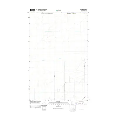
2013 Map of Salol NE
USGS Topo · Published 2013About this map
The international border between Canada and the United States defines the northern edge of this remote stretch of northern Minnesota. This landscape in Roseau County is characterized by extensive water management infrastructure designed to drain the low-lying terrain, specifically the long, straight reaches of Judicial Ditch Number Sixtyone and County Ditch Number Eighteen. These man-made channels intersect with the meandering path of the Lost River, illustrating the century-long effort to convert wetlands into viable agricultural or managed lands. Local history and genealogy interests center on the Salol Mission Cem located in the eastern portion of the quadrangle near Co Hwy-13. The transportation network is a grid of section-line roads, including 480th Ave and 350th St, which provide access to this sparsely settled borderland.
Find a feature on this map
14 named features on this map. Tap any name to fly to it.
Don’t see what you’re looking for? This feature index may not catch every label — zoom into the map to look around manually.
Map Details
Editions of this 2013 Salol NE Map
This is the sole edition of this map. No revisions or reprints were ever made.
Other maps of this area

1918 · Goos
USGS Topo · 1:62,500

1918 · Warroad
USGS Topo · 1:62,500

1943 · Goos
USGS Topo · 1:62,500

1943 · Warroad
USGS Topo · 1:62,500

1954 · Roseau
USGS Topo · 1:250,000

1957 · Roseau
USGS Topo · 1:250,000

1958 · Roseau
USGS Topo · 1:250,000

1963 · Kenora
USGS Topo · 1:250,000

1966 · Salol NW
USGS Topo · 1:24,000

1966 · Malung
USGS Topo · 1:24,000