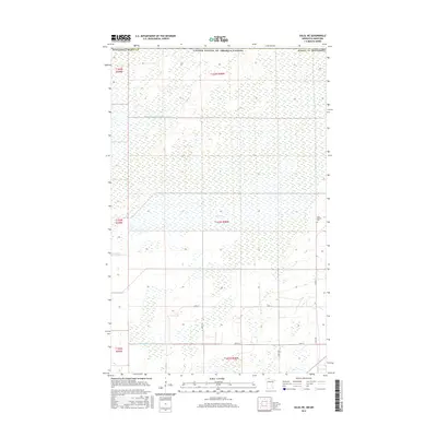
2016 Map of Salol NE
USGS Topo · Published 2016About this map
The northern edge of Roseau County meets the United States and Canada border in this remote section of the northern woods. The landscape is defined by its drainage history, featuring the Lost River alongside substantial engineered waterways like Judicial Ditch Number Sixtyone and County Ditch Number Eighteen. These structures reflect the intensive land management required in the region's low-lying terrain. Settlement is sparse, concentrated primarily along the southern portion of the map where a network of township roads, including 350th St and 340th St, provides access to rural homesteads and timberlands. For those researching local burial sites or genealogical roots, the Salol Mission Cem stands as a significant cultural landmark in the eastern part of the quadrangle.
Find a feature on this map
21 named features on this map. Tap any name to fly to it.
Don’t see what you’re looking for? This feature index may not catch every label — zoom into the map to look around manually.
Map Details
Editions of this 2016 Salol NE Map
This is the sole edition of this map. No revisions or reprints were ever made.
Other maps of this area

1918 · Goos
USGS Topo · 1:62,500

1918 · Warroad
USGS Topo · 1:62,500

1943 · Goos
USGS Topo · 1:62,500

1943 · Warroad
USGS Topo · 1:62,500

1954 · Roseau
USGS Topo · 1:250,000

1957 · Roseau
USGS Topo · 1:250,000

1958 · Roseau
USGS Topo · 1:250,000

1963 · Kenora
USGS Topo · 1:250,000

1966 · Salol NW
USGS Topo · 1:24,000

1966 · Malung
USGS Topo · 1:24,000