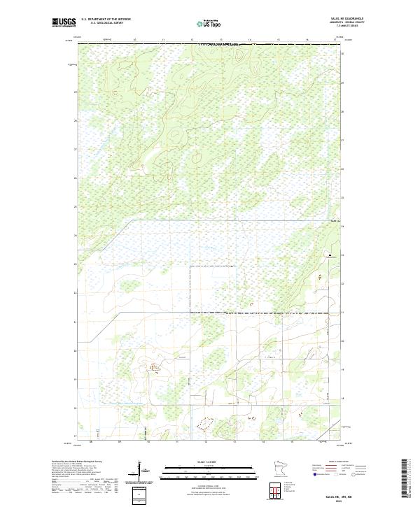
2022 Map of Salol NE
USGS Topo · Published 2022About this map
The Lost River meanders through this low-lying region of Roseau County, where the landscape is defined by extensive wetlands and an engineered drainage system. Historical land management is visible in the presence of Judicial Ditch Number Sixtyone and County Ditch Number Eighteen, which highlight the long-standing efforts to reclaim and manage this northern Minnesota terrain for agricultural or structural stability. Settled life in this quiet corner of the state is centered around the Norland Cem, providing a focal point for genealogical interest. The map detail reflects a remote rural character, with a grid of section lines and local roads like Co Rd 133 and 340th St providing the primary access through the surrounding marshlands and open spaces.
Find a feature on this map
19 named features on this map. Tap any name to fly to it.
Don’t see what you’re looking for? This feature index may not catch every label — zoom into the map to look around manually.
Map Details
Editions of this 2022 Salol NE Map
This is the sole edition of this map. No revisions or reprints were ever made.
Other maps of this area

1918 · Goos
USGS Topo · 1:62,500

1918 · Warroad
USGS Topo · 1:62,500

1943 · Goos
USGS Topo · 1:62,500

1943 · Warroad
USGS Topo · 1:62,500

1954 · Roseau
USGS Topo · 1:250,000

1957 · Roseau
USGS Topo · 1:250,000

1958 · Roseau
USGS Topo · 1:250,000

1963 · Kenora
USGS Topo · 1:250,000

1966 · Salol NW
USGS Topo · 1:24,000

1966 · Malung
USGS Topo · 1:24,000