
1961 Map of Salome
USGS Topo · Published 1962About this map
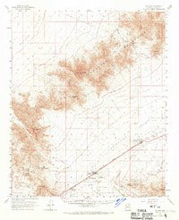
The McMullen Valley corridor serves as the primary artery for settlement and transport in this 1961 survey of Yuma County. The Atchison Topeka and Santa Fe railroad anchors the communities of Salome and Wenden, where the local landscape transitions from agricultural basins to the mineral-rich slopes of the surrounding ranges. The map reveals a significant mining history, with operations like the Bonanza Mine, Glory Hole Mine, and Centroid Mine scattered throughout the Harcuvar Mountains and Granite Wash Mountains.
Find a feature on this map
62 named features on this map. Tap any name to fly to it.
Don’t see what you’re looking for? This feature index may not catch every label — zoom into the map to look around manually.
Map Details
Editions of this 1961 Salome Map
3 editions found
Other maps of this area

1923 · Signal
USGS Topo · 1:250,000

1942 · Signal
USGS Topo · 1:250,000

1942 · Vicksburg
USGS Topo · 1:250,000

1950 · Prescott
USGS Topo · 1:250,000

1954 · Prescott
USGS Topo · 1:250,000

1954 · Phoenix
USGS Topo · 1:250,000

1957 · Phoenix
USGS Topo · 1:250,000

1958 · Prescott
USGS Topo · 1:250,000

1958 · Phoenix
USGS Topo · 1:250,000

1959 · Prescott
USGS Topo · 1:250,000