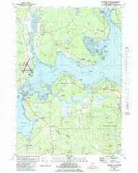
1981 Map of Salsbury Cove
USGS Topo · Published 1981About this map
The coastal interface of Lamoine and Mount Desert Island is captured here in the early 1980s, revealing a landscape defined by saltwater inlets and glacial heaths. On the mainland, Lamoine Corner and East Lamoine serve as anchor points near the shores of Berry Cove and Raccoon Cove, while the Hancock Co-Bar Harbor Airport stands as a modern gateway on the Trenton peninsula.
Find a feature on this map
104 named features on this map. Tap any name to fly to it.
Don’t see what you’re looking for? This feature index may not catch every label — zoom into the map to look around manually.
Map Details
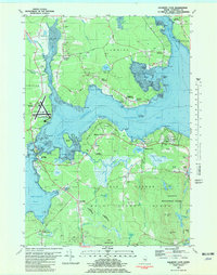
Editions of this 1981 Salsbury Cove Map
2 editions found
Other maps of this area

1904 · Mount Desert
USGS Topo · 1:62,500

1904 · Bar Harbor
USGS Topo · 1:62,500

1911 · Ellsworth
USGS Topo · 1:62,500

1930 · Tunk Lake
USGS Topo · 1:48,000

1932 · Tunk Lake
USGS Topo · 1:62,500

1940 · Ellsworth
USGS Topo · 1:62,500

1942 · Bar Harbor
USGS Topo · 1:62,500

1942 · Ellsworth
USGS Topo · 1:62,500

1942 · Mount Desert
USGS Topo · 1:62,500

1942 · Tunk Lake
USGS Topo · 1:62,500