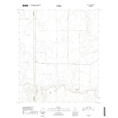
2019 Map of Salt Gap
USGS Topo · Published 2019About this map
The Brady Mountains dominate the southern landscape of this central Texas region, rising sharply to distinctive high points like Rattlesnake Point. Below these elevations, the terrain transitions into a wide drainage basin defined by ephemeral waterways such as Salt Cr, Cottonwood Cr, and Waloope Cr. The settlement of Salt Gap sits at a crossroads where Co RD 22 meets Ranch Rd 504, marking a vital point of transit near the Concho Co and McCulloch Co boundary line. This 2019 survey illustrates a sparse, ranch-oriented land use pattern where a complex network of county roads, including Co RD 356 and Co RD 350, provides access to the remote draws and creek beds that feed into Little Saddle Cr and Saddle Cr to the east.
Find a feature on this map
27 named features on this map. Tap any name to fly to it.
Don’t see what you’re looking for? This feature index may not catch every label — zoom into the map to look around manually.
Map Details
Editions of this 2019 Salt Gap Map
This is the sole edition of this map. No revisions or reprints were ever made.
Other maps of this area

1892 · Eden
USGS Topo · 1:125,000

1894 · Brady
USGS Topo · 1:125,000

1896 · Eden
USGS Topo · 1:125,000

1924 · Eden 1-a
USGS Topo · 1:48,000

1925 · Brady 2-b
USGS Topo · 1:48,000

1928 · Waldrip
USGS Topo · 1:62,500

1931 · Stacy
USGS Topo · 1:62,500

1954 · Brownwood
USGS Topo · 1:250,000

1960 · West Sweden
USGS Topo · 1:24,000

1960 · Melvin
USGS Topo · 1:24,000