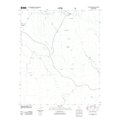
2011 Map of Salt River Peak
USGS Topo · Published 2011About this map
Roosevelt Resort sits along the western edge of this Arizona landscape, where the waters of Pinto Creek flow toward the Salt River. The terrain is defined by a network of drainage systems, including Poison Springs Wash and Blevens Wash, which carve through the Salt River Mountains. This arid region relies heavily on specific water sources for ranching and travel, evidenced by numerous named tanks and springs such as Barley Patch Tank, High Blevens Spring, and Dagger Spring.
Find a feature on this map
44 named features on this map. Tap any name to fly to it.
Don’t see what you’re looking for? This feature index may not catch every label — zoom into the map to look around manually.
Map Details
Editions of this 2011 Salt River Peak Map
This is the sole edition of this map. No revisions or reprints were ever made.
Other maps of this area

1900 · Florence
USGS Topo · 1:125,000

1901 · Globe
USGS Topo · 1:62,500

1902 · Globe
USGS Topo · 1:62,500

1902 · Florence
USGS Topo · 1:125,000

1907 · Roosevelt
USGS Topo · 1:125,000

1909 · Four Peaks
USGS Topo · 1:125,000

1912 · Roosevelt
USGS Topo · 1:125,000

1922 · Chrysotile
USGS Topo · 1:125,000

1945 · Globe
USGS Topo · 1:24,000

1945 · Inspiration
USGS Topo · 1:24,000