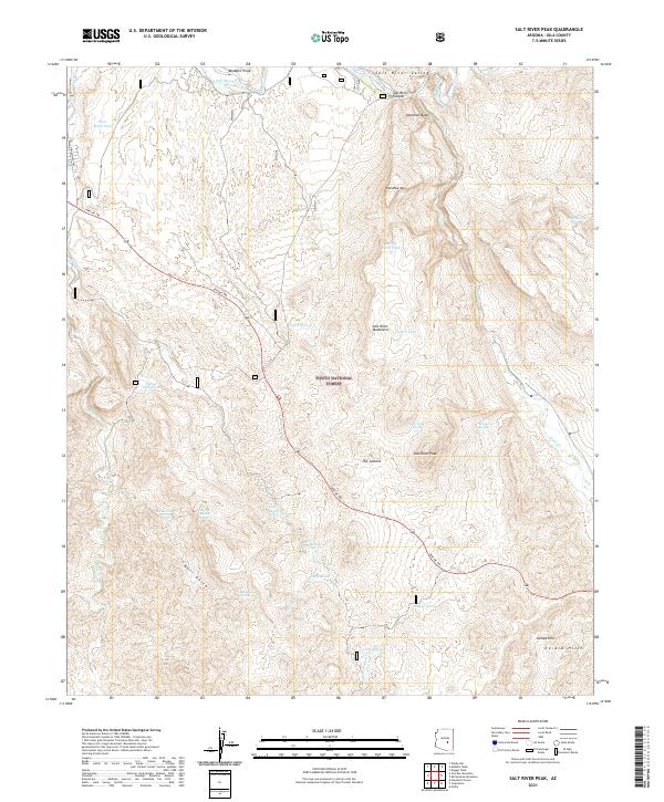
2021 Map of Salt River Peak
USGS Topo · Published 2021About this map
The Apache Trl winds through this rugged interior of Gila County, following a historic corridor that connects the higher elevations of the Tonto National Forest with the deep incision of the Salt River Canyon. This 2021 survey reveals a landscape defined by dramatic relief, where the Salt River Mountains and Salt River Peak dominate the topography. To the south, the Gerald Hills rise above a complex network of seasonal drainages, including Bell Gulch and DeVore Wash.
Find a feature on this map
39 named features on this map. Tap any name to fly to it.
Don’t see what you’re looking for? This feature index may not catch every label — zoom into the map to look around manually.
Map Details
Editions of this 2021 Salt River Peak Map
This is the sole edition of this map. No revisions or reprints were ever made.
Other maps of this area

1900 · Florence
USGS Topo · 1:125,000

1901 · Globe
USGS Topo · 1:62,500

1902 · Globe
USGS Topo · 1:62,500

1902 · Florence
USGS Topo · 1:125,000

1907 · Roosevelt
USGS Topo · 1:125,000

1909 · Four Peaks
USGS Topo · 1:125,000

1912 · Roosevelt
USGS Topo · 1:125,000

1922 · Chrysotile
USGS Topo · 1:125,000

1945 · Globe
USGS Topo · 1:24,000

1945 · Inspiration
USGS Topo · 1:24,000