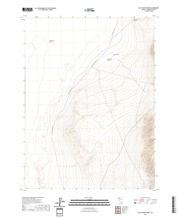
2021 Map of Salt Water Spring
USGS Topo · Published 2021About this map
Salt Water Spring and the arid expanse of the Black Rock Desert dominate this remote pocket of Humboldt County. The landscape is defined by its thermal and seasonal water sources, ranging from Hot Spring in the central basin to Butts Spring and the ephemeral Jackson Cr Slough at the western edge. These points of reliability dictate the few paths through the terrain, most notably Jackson Creek Ranch Rd, which skirts the eastern foothills. Rising sharply to the east, the Jackson Mountains are dissected by a series of steep drainages including Red Butte Canyon, Black Canyon, and Rattlesnake Canyon. This survey captures the essential geography of the Great Basin, where the stark transition from flat alkali playa to high desert peaks creates a unique environment for livestock ranching and exploration.
Find a feature on this map
17 named features on this map. Tap any name to fly to it.
Don’t see what you’re looking for? This feature index may not catch every label — zoom into the map to look around manually.
Map Details
Editions of this 2021 Salt Water Spring Map
This is the sole edition of this map. No revisions or reprints were ever made.
Other maps of this area

1886 · Disaster
USGS Topo · 1:250,000

1893 · Disaster
USGS Topo · 1:250,000

1931 · Lovelock
USGS Topo · 1:250,000

1935 · Lovelock
USGS Topo · 1:250,000

1954 · Vya
USGS Topo · 1:250,000

1955 · Lovelock
USGS Topo · 1:250,000

1958 · Vya
USGS Topo · 1:250,000

1959 · Lovelock
USGS Topo · 1:250,000

1962 · Vya
USGS Topo · 1:250,000

1966 · King Lear Peak
USGS Topo · 1:62,500