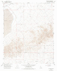
1967 Map of Saltdale SE
USGS Topo · Published 1979About this map
Koehn Lake sits at the foot of the Rand Mountains in this mid-1960s survey of the high desert. The landscape is defined by the contrast between the dry lakebed of the Fremont Valley and the steep elevation of the mountains to the south. Early infrastructure for California City is visible at the southern edge, including the California City Corporate Boundary and several arterial routes such as Chrysler Road and Colgate Road.
Find a feature on this map
16 named features on this map. Tap any name to fly to it.
Don’t see what you’re looking for? This feature index may not catch every label — zoom into the map to look around manually.
Map Details
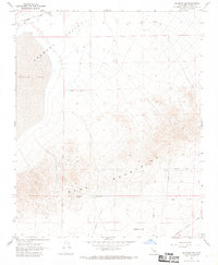
Editions of this 1967 Saltdale SE Map
2 editions found
Other maps of this area

1903 · Randsburg
USGS Topo · 1:62,500

1911 · Randsburg
USGS Topo · 1:62,500

1912 · Randsburg
USGS Topo · 1:62,500

1915 · Searles Lake
USGS Topo · 1:250,000

1943 · Saltdale
USGS Topo · 1:62,500

1943 · Castle Butte
USGS Topo · 1:62,500

1947 · Castle Butte
USGS Topo · 1:50,000

1947 · Trona
USGS Topo · 1:250,000

1948 · Trona
USGS Topo · 1:250,000

1953 · Trona
USGS Topo · 1:250,000