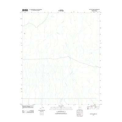
2011 Map of Salton Tanks
USGS Topo · Published 2011About this map
Big Eye Wash meanders across this arid landscape in Yuma County, marking the primary drainage system for this desert region. In a territory where water sources are vital, Dixon Spring and the Salton Tanks stand out as critical hydrological features for both early travel and local survival. The map also identifies the lone settlement of Green Cabin in the western portion of the quadrangle. The sparse distribution of named points suggests a landscape defined more by natural terrain and ephemeral watercourses than by intensive development, reflecting the enduringly remote character of this part of Arizona.
Find a feature on this map
4 named features on this map. Tap any name to fly to it.
Don’t see what you’re looking for? This feature index may not catch every label — zoom into the map to look around manually.
Map Details
Editions of this 2011 Salton Tanks Map
This is the sole edition of this map. No revisions or reprints were ever made.
Other maps of this area

1928 · Norton
USGS Topo · 1:62,500

1929 · Norton
USGS Topo · 1:62,500

1942 · Yuma
USGS Topo · 1:250,000

1942 · Blythe
USGS Topo · 1:250,000

1942 · Vicksburg
USGS Topo · 1:250,000

1953 · Ajo
USGS Topo · 1:250,000

1954 · El Centro
USGS Topo · 1:250,000

1954 · Salton Sea
USGS Topo · 1:250,000

1954 · Phoenix
USGS Topo · 1:250,000

1955 · Salton Sea
USGS Topo · 1:250,000