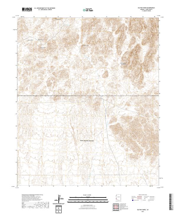
2021 Map of Salton Tanks
USGS Topo · Published 2021About this map
Castle Dome Mountains dominate the eastern portion of this Arizona landscape, characterized by complex topography and numerous drainages. The area is defined by seasonal watercourses such as Big Eye Wash, which weaves south through the center of the sheet. Evidence of the desert's shifting water table and geological features is found at Dixon Spring and the Natural Arch situated further west. This 2021 survey shows a terrain largely shaped by natural forces, with prominent peaks like Thumb Butte serving as significant landmarks in an arid expanse otherwise marked only by the sectional lines of the Public Land Survey System, including t5s r18w and t5s r17w.
Find a feature on this map
9 named features on this map. Tap any name to fly to it.
Don’t see what you’re looking for? This feature index may not catch every label — zoom into the map to look around manually.
Map Details
Editions of this 2021 Salton Tanks Map
This is the sole edition of this map. No revisions or reprints were ever made.
Other maps of this area

1928 · Norton
USGS Topo · 1:62,500

1929 · Norton
USGS Topo · 1:62,500

1942 · Yuma
USGS Topo · 1:250,000

1942 · Blythe
USGS Topo · 1:250,000

1942 · Vicksburg
USGS Topo · 1:250,000

1953 · Ajo
USGS Topo · 1:250,000

1954 · El Centro
USGS Topo · 1:250,000

1954 · Salton Sea
USGS Topo · 1:250,000

1954 · Phoenix
USGS Topo · 1:250,000

1955 · Salton Sea
USGS Topo · 1:250,000