
1907 Map of Saluda
USGS Topo · Published 1907About this map
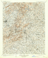
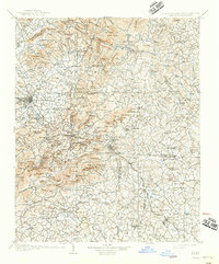
Hendersonville and Tryon anchor this 1907 survey of the Blue Ridge escarpment, a landscape defined by the steep descent from the North Carolina mountains into the South Carolina foothills. The Southern Railway route through Saluda is a central feature, tracing the challenging grade through the Blue Ridge mountains. This era captures the transition from isolated mountain coves to a connected region, with rural post offices like Rockcliff PO and Gerton serving dispersed communities. The map highlights the headwaters of the Green River, Broad River, and several branches of the Pacolet River, which carved the deep gaps and valleys. Natural landmarks like Chimney Rock and The Caves near Batcave reflect the area's emerging identity as a mountain destination, while settlements like Columbus and Landrum represent the established agricultural centers below the ridge line.
Find a feature on this map
210 named features on this map. Tap any name to fly to it.
Don’t see what you’re looking for? This feature index may not catch every label — zoom into the map to look around manually.
Map Details
Editions of this 1907 Saluda Map
3 editions found
Other maps of this area

1888 · Pickens
USGS Topo · 1:125,000

1894 · Asheville
USGS Topo · 1:125,000

1894 · Pickens
USGS Topo · 1:125,000

1900 · Mount Mitchell
USGS Topo · 1:125,000

1901 · Asheville
USGS Topo · 1:125,000

1902 · Mount Mitchell
USGS Topo · 1:125,000

1905 · Morganton
USGS Topo · 1:125,000

1905 · Pisgah
USGS Topo · 1:125,000

1906 · Pisgah
USGS Topo · 1:125,000

1935 · Standingstone Mtn.
USGS Topo · 1:24,000