Loading...
Loading map...2022 Map of Saluda
USGS Topo · Published 2022About this map
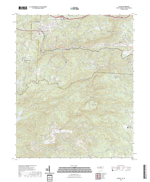
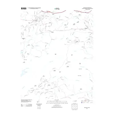
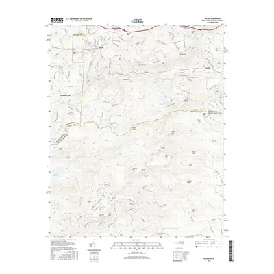
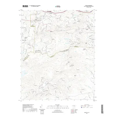
The town of Saluda sits at the edge of the Blue Ridge escarpment, where the landscape dramatically shifts across the North Carolina South Carolina state line. This survey captures a terrain defined by high ridges like Rich Mtn and Hogback Mtn, which funnel numerous watercourses including the Pacolet River and the N Saluda River. The settlement pattern follows the steep topography, with clusters at Melrose and Valhalla connected by the winding route of Us HWY 176.
Find a feature on this map
71 named features on this map. Tap any name to fly to it.
Don’t see what you’re looking for? This feature index may not catch every label — zoom into the map to look around manually.
Map Details
Date Portrayed2022
Date Published2022
PublisherU.S. Geological Survey
Map TypeTopographic
Scale1:24,000
Physical Dimensions24 x 29 inches
Editions of this 2022 Saluda Map
This is the sole edition of this map. No revisions or reprints were ever made.
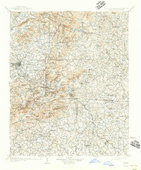
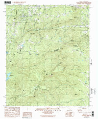
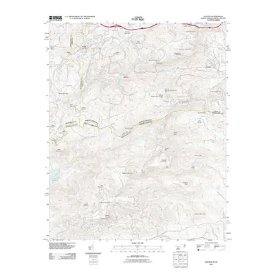
Historical Maps of Tryon Through Time
7 maps found
Featured Locations
Source Details
SourceU.S. Geological Survey
CopyrightPublic Domain