
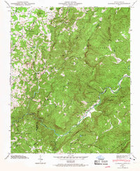
1946 Map of Cliffield Mtn
USGS Topo · Published 1957About this map
Green River carves a deep path through the southeastern corner of this Henderson and Polk County landscape, creating the dramatic geological formation known as the Narrows. The terrain is defined by the steep ridges of the Blue Ridge, where numerous summits like Cliffield Mtn, Kings Mtn, and Annie Mtn tower over the narrow valleys. Settled pockets are scattered throughout the highland gaps and along the river banks, with the community of Edneyville anchored to the north and Dana to the west. Local life in the mid-1940s centered on landmarks such as Edith Grove Ch, Macedonia Ch, and the Dana School. Genealogy researchers will find several family-named burial sites, including Jones Cem, Bradley Cem, and Patty Cem, preserved alongside natural features like Bradley Falls and the winding Hungry River.
Find a feature on this map
75 named features on this map. Tap any name to fly to it.
Don’t see what you’re looking for? This feature index may not catch every label — zoom into the map to look around manually.
Map Details
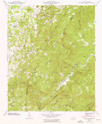
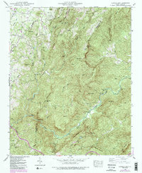
Editions of this 1946 Cliffield Mtn Map
4 editions found
Other maps of this area

1907 · Saluda
USGS Topo · 1:125,000

1935 · Batcave
USGS Topo · 1:24,000

1935 · Hendersonville
USGS Topo · 1:24,000

1935 · Fishtop
USGS Topo · 1:24,000

1935 · Zirconia
USGS Topo · 1:24,000

1936 · Fruitland
USGS Topo · 1:24,000

1942 · Fruitland
USGS Topo · 1:24,000

1946 · Zirconia
USGS Topo · 1:24,000

1946 · Bat Cave
USGS Topo · 1:24,000
1946 · Hendersonville
USGS Topo · 1:24,000