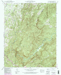
1946 Map of Cliffield Mtn.
USGS Topo · Published 1991About this map
The Blue Ridge escarpment dominates this 1946 survey, where the rugged terrain of the Henderson and Polk County line drops toward the Green River valley. This era of the landscape is defined by small, family-centric settlements like Dana and Macedonia that grew around timber and agricultural pursuits. The abundance of private burial grounds, including the Jones Cem, Stepp Cem, and Bradley Cem, indicates long-standing family landholdings and early homesteads that predated more centralized development. Transport in the region is anchored by the historic Howard Gap Road and the Blue Ridge Rd, which trace the high ridges and steep descents typical of the Carolinas' mountain borderlands. The presence of Bradley Falls and the deep gorge known as The Narrows along the Green River highlights the significant elevation changes that shaped local movement and settlement patterns.
Find a feature on this map
58 named features on this map. Tap any name to fly to it.
Don’t see what you’re looking for? This feature index may not catch every label — zoom into the map to look around manually.
Map Details
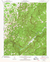
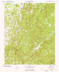
Editions of this 1946 Cliffield Mtn. Map
4 editions found

Other maps of this area

1907 · Saluda
USGS Topo · 1:125,000

1935 · Batcave
USGS Topo · 1:24,000

1935 · Hendersonville
USGS Topo · 1:24,000

1935 · Fishtop
USGS Topo · 1:24,000

1935 · Zirconia
USGS Topo · 1:24,000

1936 · Fruitland
USGS Topo · 1:24,000

1942 · Fruitland
USGS Topo · 1:24,000

1946 · Zirconia
USGS Topo · 1:24,000

1946 · Bat Cave
USGS Topo · 1:24,000
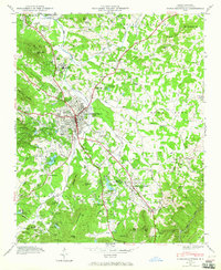
1946 · Hendersonville
USGS Topo · 1:24,000