
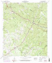
1946 Map of Bat Cave
USGS Topo · Published 1957About this map
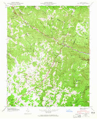
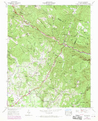
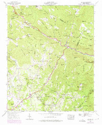
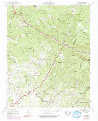
Hickorynut Creek carves a steep path through this mountain landscape, which was surveyed by the Tennessee Valley Authority in the mid-1940s. The region is characterized by a mix of agricultural clearings near Edneyville and the high-elevation peaks of the Blue Ridge. The map documents a community infrastructure of country churches and small educational outposts, including St Peters Sch and Liberty Ch, reflecting the rural social organization of the era. Settlement patterns follow the winding course of the Broad River, where landmarks like Bat Cave and the Maxwell Mill are situated. Notable natural features such as Hickorynut Falls and The Cascades underscore the dramatic topography that defines the border between Henderson and Rutherford counties, where industry was largely limited to small-scale milling and mountain farming.
Find a feature on this map
100 named features on this map. Tap any name to fly to it.
Don’t see what you’re looking for? This feature index may not catch every label — zoom into the map to look around manually.
Map Details
Editions of this 1946 Bat Cave Map
6 editions found
Other maps of this area

1900 · Mount Mitchell
USGS Topo · 1:125,000

1902 · Mount Mitchell
USGS Topo · 1:125,000

1907 · Saluda
USGS Topo · 1:125,000

1935 · Batcave
USGS Topo · 1:24,000

1935 · Hendersonville
USGS Topo · 1:24,000

1935 · Black Mountain
USGS Topo · 1:24,000

1935 · Fishtop
USGS Topo · 1:24,000

1936 · Fruitland
USGS Topo · 1:24,000

1941 · Black Mountain
USGS Topo · 1:24,000

1942 · Fruitland
USGS Topo · 1:24,000