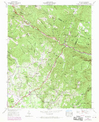
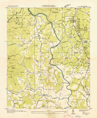
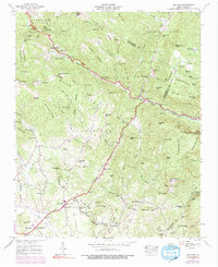
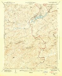
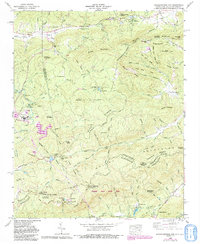
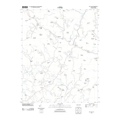
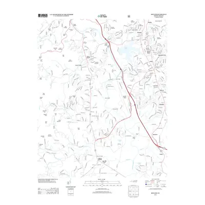
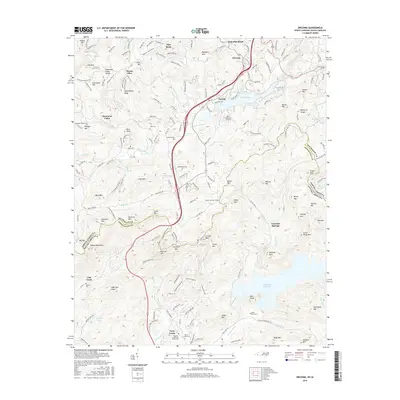
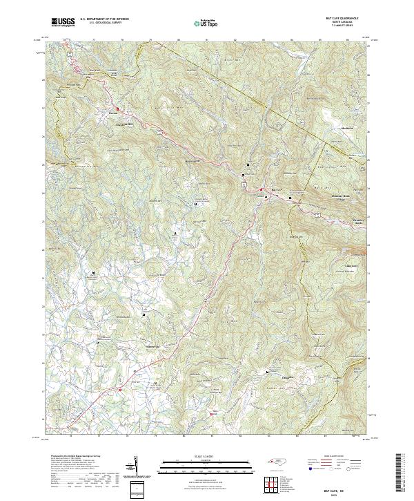
1946 Map of Bat Cave
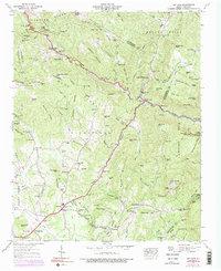
USGS Topo · Published 1970About this map
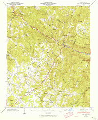
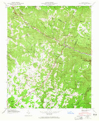
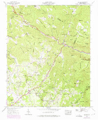
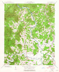
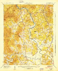
The Broad River and its numerous tributaries, including Hickory Creek and Reedypatch Creek, carve a complex network of valleys through the Blue Ridge mountains. This 1946 Tennessee Valley Authority survey, photorevised in 1969, reveals a landscape of high summits and scattered mountain communities. At Hickorynut Gap, the terrain transitions between Buncombe and Henderson counties, where settlements like Gerton and Bat Cave are situated along winding mountain roads.
Find a feature on this map
100 named features on this map. Tap any name to fly to it.
Don’t see what you’re looking for? This feature index may not catch every label — zoom into the map to look around manually.
Map Details
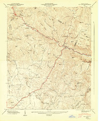
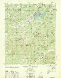
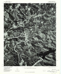
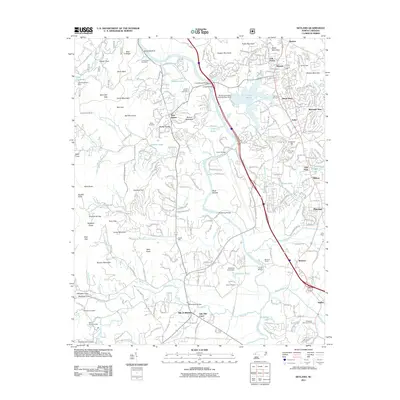
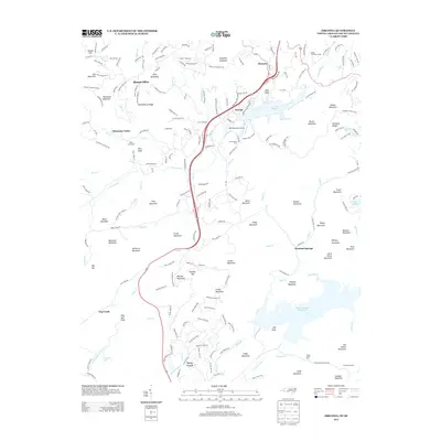
Editions of this 1946 Bat Cave Map
6 editions found
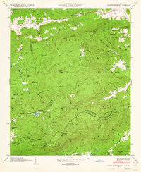
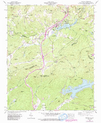
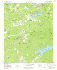
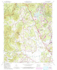
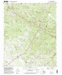
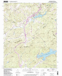
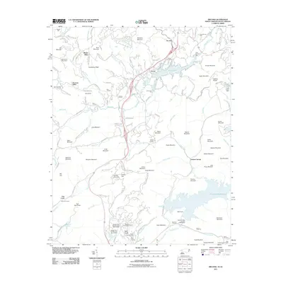
Historical Maps of Bat Cave Through Time
33 maps found

1935 Batcave
Henderson County, NC

1935 Standingstone Mtn.
Henderson County, NC

1935 Zirconia
Henderson County, NC
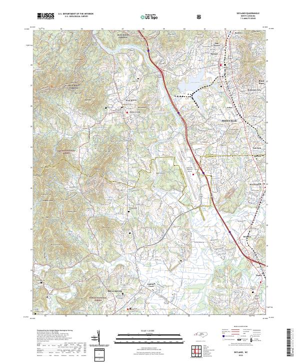
1936 Skyland
Henderson County, NC
1942 Skyland
Henderson County, NC
1943 Skyland
Henderson County, NC
1946 Bat Cave
Henderson County, NC
1946 Standingstone Mtn.
Henderson County, NC
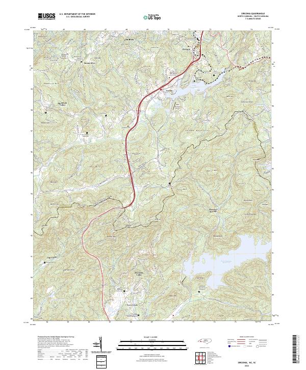
1946 Zirconia
Henderson County, NC
1947 Bat Cave
Henderson County, NC
1947 Zirconia
Henderson County, NC
1954 Zirconia
Henderson County, NC
1959 Zirconia
Henderson County, NC
1965 Skyland
Henderson County, NC
1965 Standingstone Mtn.
Henderson County, NC
1977 Zirconia
Henderson County, NC
1997 Bat Cave
Henderson County, NC
1997 Zirconia
Henderson County, NC
2010 Bat Cave
Henderson County, NC
2011 Skyland
Henderson County, NC
2011 Zirconia
Henderson County, NC
2013 Bat Cave
Henderson County, NC
2013 Skyland
Henderson County, NC
2013 Zirconia
Henderson County, NC
2016 Bat Cave
Henderson County, NC
2016 Skyland
Henderson County, NC
2016 Zirconia
Henderson County, NC
2019 Bat Cave
Henderson County, NC
2019 Skyland
Henderson County, NC
2019 Zirconia
Henderson County, NC
2022 Bat Cave
Henderson County, NC
2022 Skyland
Henderson County, NC
2022 Zirconia
Henderson County, NC