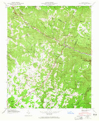
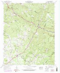
1946 Map of Bat Cave
USGS Topo · Published 1965About this map
Bat Cave sits at the junction of the Broad River and Hickory Creek, serving as a central point in this mountain landscape surveyed just after the war in 1946. The terrain is defined by the Blue Ridge and Dividing Ridge, with numerous peaks like Bearwallow Mtn and Shumont framing the river valleys. The settlement of Edneyville to the southwest is a focal point for local families, evidenced by the Edneyville Cem and several community churches including St Pauls Ch and Mt Moriah Ch. Industry and recreation appear side-by-side, from the Maxwell Mill on Clear Creek to the seasonal destination of Camp Minnehaha Falls. Genealogists will find interest in the scattered burial grounds like Connor Cem and the small mountain gaps such as Hickorynut Gap and Bearwallow Gap that shaped early transportation routes through these highlands.
Find a feature on this map
106 named features on this map. Tap any name to fly to it.
Don’t see what you’re looking for? This feature index may not catch every label — zoom into the map to look around manually.
Map Details
Editions of this 1946 Bat Cave Map
6 editions found

Other maps of this area

1900 · Mount Mitchell
USGS Topo · 1:125,000

1902 · Mount Mitchell
USGS Topo · 1:125,000

1907 · Saluda
USGS Topo · 1:125,000

1935 · Batcave
USGS Topo · 1:24,000

1935 · Hendersonville
USGS Topo · 1:24,000

1935 · Black Mountain
USGS Topo · 1:24,000

1935 · Fishtop
USGS Topo · 1:24,000

1936 · Fruitland
USGS Topo · 1:24,000

1941 · Black Mountain
USGS Topo · 1:24,000

1942 · Fruitland
USGS Topo · 1:24,000