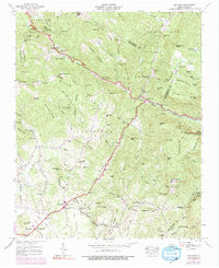
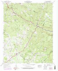
1946 Map of Bat Cave
USGS Topo · Published 1991About this map
The Broad River carves through the Blue Ridge landscape, defining a region of steep slopes and isolated mountain communities. Settlements like Edneyville and Gerton are anchored by a network of local institutions, including St Peters Sch and churches such as St Pauls Ch and Mountain Home Ch. The map reveals the early industrial and utility footprint of the area, from the Maxwell Mill on Clear Creek to a Lookout Tower and FAA Tracking Station perched on high peaks. High elevations are marked by prominent landmarks like Chimney Rock and Sugarloaf Mtn, while the Blue Ridge Parkway begins its traverse along the western ridges. This 1946 Tennessee Valley Authority survey, updated with 1960s aerial photography, captures the transition of these upland farmsteads into a more modern recreation and infrastructure network.
Find a feature on this map
112 named features on this map. Tap any name to fly to it.
Don’t see what you’re looking for? This feature index may not catch every label — zoom into the map to look around manually.
Map Details
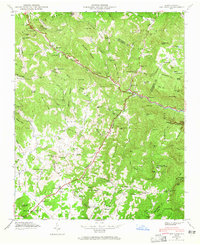
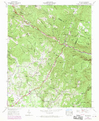
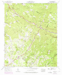
Editions of this 1946 Bat Cave Map
6 editions found

Other maps of this area

1900 · Mount Mitchell
USGS Topo · 1:125,000

1902 · Mount Mitchell
USGS Topo · 1:125,000

1907 · Saluda
USGS Topo · 1:125,000

1935 · Batcave
USGS Topo · 1:24,000

1935 · Hendersonville
USGS Topo · 1:24,000

1935 · Black Mountain
USGS Topo · 1:24,000

1935 · Fishtop
USGS Topo · 1:24,000

1936 · Fruitland
USGS Topo · 1:24,000

1941 · Black Mountain
USGS Topo · 1:24,000

1942 · Fruitland
USGS Topo · 1:24,000