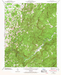
1946 Map of Cliffield Mtn
USGS Topo · Published 1967About this map
Green River carves a deep path through the Blue Ridge Mountains on this 1946 Tennessee Valley Authority survey. The landscape is defined by its sharp verticality, featuring notable gaps and peaks like Cooper Gap, Cliffield Mtn, and the distinctive Narrows where the river tightens. Early 20th-century life in Henderson and Polk counties is visible in the distribution of family landmarks and small community centers. Genealogists will find several burial grounds, including Jones Cem and Ratty Cem, as well as local hubs like Dana Sch and Macedonia Ch. This era of the Carolina high country shows a network of winding mountain roads like Howard Gap Road and Blue Ridge Rd, linking remote settlements such as Edith Grove and Mount Valley before modern development altered the rural character.
Find a feature on this map
73 named features on this map. Tap any name to fly to it.
Don’t see what you’re looking for? This feature index may not catch every label — zoom into the map to look around manually.
Map Details
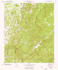
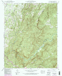
Editions of this 1946 Cliffield Mtn Map
4 editions found

Other maps of this area

1907 · Saluda
USGS Topo · 1:125,000

1935 · Batcave
USGS Topo · 1:24,000

1935 · Hendersonville
USGS Topo · 1:24,000

1935 · Fishtop
USGS Topo · 1:24,000

1935 · Zirconia
USGS Topo · 1:24,000

1936 · Fruitland
USGS Topo · 1:24,000

1942 · Fruitland
USGS Topo · 1:24,000

1946 · Zirconia
USGS Topo · 1:24,000

1946 · Bat Cave
USGS Topo · 1:24,000
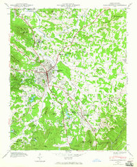
1946 · Hendersonville
USGS Topo · 1:24,000