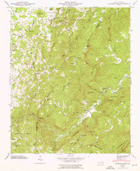
1946 Map of Cliffield Mtn
USGS Topo · Published 1976About this map
Green River carves a deep path through this section of the Blue Ridge mountains, creating a landscape defined by sharp elevation changes and high-altitude gaps. The boundary between Henderson County and Polk County follows the rugged terrain near The Narrows, where the river’s descent becomes most pronounced. Small settlements and local landmarks are scattered across the higher elevations, including the rural community of Dana and the high-altitude Stepp Cem near Saconon.
Find a feature on this map
106 named features on this map. Tap any name to fly to it.
Don’t see what you’re looking for? This feature index may not catch every label — zoom into the map to look around manually.
Map Details
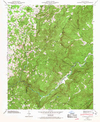
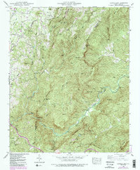
Editions of this 1946 Cliffield Mtn Map
4 editions found

Other maps of this area

1907 · Saluda
USGS Topo · 1:125,000

1935 · Batcave
USGS Topo · 1:24,000

1935 · Hendersonville
USGS Topo · 1:24,000

1935 · Fishtop
USGS Topo · 1:24,000

1935 · Zirconia
USGS Topo · 1:24,000

1936 · Fruitland
USGS Topo · 1:24,000

1942 · Fruitland
USGS Topo · 1:24,000

1946 · Zirconia
USGS Topo · 1:24,000

1946 · Bat Cave
USGS Topo · 1:24,000
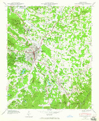
1946 · Hendersonville
USGS Topo · 1:24,000