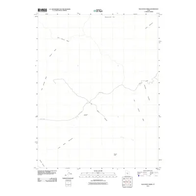
2010 Map of Salvation Creek
USGS Topo · Published 2010About this map
Last Chance Gas Field anchors the center of this terrain in the early 21st century, indicating the industrial footprint within the arid landscape of Emery County. The area is defined by a network of drainage systems including Last Chance Wash, Temple Wash, and the namesake Salvation Creek, which carve through the high desert floor. Significant topographic landmarks such as Factory Butte and Cedar Mountain provide vertical relief against the expansive Mussentuchit Flat to the north and the Middle Desert to the south.
Find a feature on this map
14 named features on this map. Tap any name to fly to it.
Don’t see what you’re looking for? This feature index may not catch every label — zoom into the map to look around manually.
Map Details
Editions of this 2010 Salvation Creek Map
This is the sole edition of this map. No revisions or reprints were ever made.
Other maps of this area

1885 · Fish Lake
USGS Topo · 1:250,000

1896 · Fish Lake
USGS Topo · 1:250,000

1952 · Notom 2 NE
USGS Topo · 1:24,000

1952 · Torrey
USGS Topo · 1:62,500

1953 · Emery 4 NE
USGS Topo · 1:24,000

1953 · Emery 4 SE
USGS Topo · 1:24,000

1954 · Notom 1 NE
USGS Topo · 1:24,000

1954 · Fruita
USGS Topo · 1:62,500
1954 · Notom 1 NW
USGS Topo · 1:24,000

1956 · Salina
USGS Topo · 1:250,000