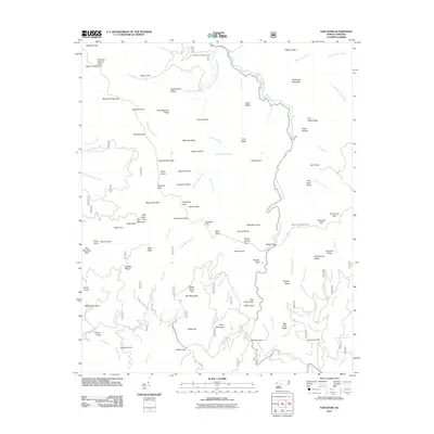
2011 Map of Sam Knob
USGS Topo · Published 2011About this map
The Richland Balsam Great Balsam Mountains dominate this high-elevation landscape in Haywood County, where the headwaters of the West Fork Pigeon River and the Middle Prong West Fork Pigeon River carve through the terrain. This 2011 survey documents a region of dramatic verticality, defined by numerous balds and ridges such as Silvermine Bald and Beartrap Ridge. For genealogists and local historians, the Harris Cemetery remains a key cultural landmark amidst the forested slopes. The map also highlights significant recreational and geographic features, including the Sunburst Recreation Area and the Devil's Courthouse Tunnel. The intricate drainage patterns of creeks like Courthouse Creek, leading to Courthouse Falls, illustrate the hydrology of this protected mountain environment just after the turn of the 21st century.
Find a feature on this map
110 named features on this map. Tap any name to fly to it.
Don’t see what you’re looking for? This feature index may not catch every label — zoom into the map to look around manually.
Map Details
Editions of this 2011 Sam Knob Map
This is the sole edition of this map. No revisions or reprints were ever made.
Other maps of this area

1891 · Cowee
USGS Topo · 1:125,000

1897 · Cowee
USGS Topo · 1:125,000

1905 · Pisgah
USGS Topo · 1:125,000

1906 · Pisgah
USGS Topo · 1:125,000

1907 · Cowee
USGS Topo · 1:125,000

1935 · Cruso
USGS Topo · 1:24,000

1935 · Waynesville
USGS Topo · 1:24,000

1935 · Sam Knob
USGS Topo · 1:24,000

1935 · Rosman
USGS Topo · 1:24,000

1935 · Tuckaseigee
USGS Topo · 1:24,000