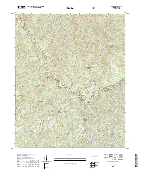
2022 Map of Sam Knob
USGS Topo · Published 2022About this map
Richland Balsam and the high ridges of the Great Balsam Mountains anchor this high-elevation landscape where the Nantahala National Forest meets the Pisgah National Forest. The winding corridor of the Blue Ridge Parkway traces the crest of the mountains, passing landmark peaks like Tanasee Bald and Mt Hardy at the intersection of Jackson, Haywood, and Transylvania counties. This 2022 survey illustrates the modern trail and recreational infrastructure of the region, including the Mountains to Sea Trl and the Art Loeb Spur Trl. Water features define the drainage patterns of the southern Appalachians, from the headwaters of the West Fork Pigeon River to the secluded Balsam Lake and the vertical drop at Dills Falls. The map documents a landscape primarily dedicated to conservation and backcountry travel, with numerous named gaps like Horsebone Gap and Buckeye Gap serving as traditional points of passage through the ridges.
Find a feature on this map
124 named features on this map. Tap any name to fly to it.
Don’t see what you’re looking for? This feature index may not catch every label — zoom into the map to look around manually.
Map Details
Editions of this 2022 Sam Knob Map
This is the sole edition of this map. No revisions or reprints were ever made.
Other maps of this area

1891 · Cowee
USGS Topo · 1:125,000

1897 · Cowee
USGS Topo · 1:125,000

1905 · Pisgah
USGS Topo · 1:125,000

1906 · Pisgah
USGS Topo · 1:125,000

1907 · Cowee
USGS Topo · 1:125,000

1935 · Cruso
USGS Topo · 1:24,000

1935 · Waynesville
USGS Topo · 1:24,000

1935 · Sam Knob
USGS Topo · 1:24,000

1935 · Rosman
USGS Topo · 1:24,000

1935 · Tuckaseigee
USGS Topo · 1:24,000