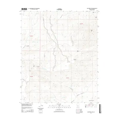
2014 Map of Sam Powell Peak
USGS Topo · Published 2014About this map
Sam Powell Peak and The Needle anchor the high desert terrain of the Wickenburg Mountains in this Yavapai County landscape. The area is defined by a network of seasonal watercourses and drainage systems, most notably the Hassayampa River which flows through Box Canyon and the distinctive narrows known as The Box. Early ranching and industrial markers remain on the land, including the Sand Mill settlement and several stock-watering points such as Brick Tank and Number Thirtysix Tank.
Find a feature on this map
30 named features on this map. Tap any name to fly to it.
Don’t see what you’re looking for? This feature index may not catch every label — zoom into the map to look around manually.
Map Details
Editions of this 2014 Sam Powell Peak Map
This is the sole edition of this map. No revisions or reprints were ever made.
Other maps of this area

1887 · Prescott
USGS Topo · 1:250,000

1892 · Prescott
USGS Topo · 1:250,000

1903 · Congress
USGS Topo · 1:125,000

1904 · Congress
USGS Topo · 1:125,000

1947 · Wagoner
USGS Topo · 1:62,500

1948 · Wagoner
USGS Topo · 1:63,360

1950 · Wagoner
USGS Topo · 1:62,500

1950 · Prescott
USGS Topo · 1:250,000

1954 · Prescott
USGS Topo · 1:250,000

1954 · Phoenix
USGS Topo · 1:250,000