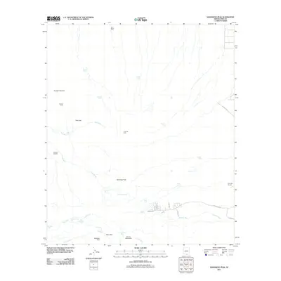
2011 Map of Samaniego Peak
USGS Topo · Published 2011About this map
The Sierrita Mountains define this landscape south of Tucson, where cattle ranching and aviation intersect in the high desert. Scattered holdings like McGee Ranch, La Cañada Ranch, and Gunsight Ranch are connected by a network of local roads and primitive tracks including McBee Ranch Rd and Elams Loop. The prominence of Samaniego Peak and Keystone Peak provides vertical relief over a terrain carved by ephemeral drainages such as Demetrie Wash and Fresnal Wash. This environment relies heavily on artificial and natural water sources for livestock and wildlife, as evidenced by numerous features like Zopeda Tank, Buffalo Tank, and Sid Simpson Spring. On the eastern edge, the Ruby Star Airpark signifies the modern utility of these open spaces, while labels like Placer Peak point toward the region's long history of mineral exploration and prospecting.
Find a feature on this map
44 named features on this map. Tap any name to fly to it.
Don’t see what you’re looking for? This feature index may not catch every label — zoom into the map to look around manually.
Map Details
Editions of this 2011 Samaniego Peak Map
This is the sole edition of this map. No revisions or reprints were ever made.
Other maps of this area

1920 · Arivaca
USGS Topo · 1:125,000

1925 · Samaniego Peak
USGS Topo · 1:62,500

1925 · San Xavier
USGS Topo · 1:62,500

1934 · Tucson Mountains
USGS Topo · 1:125,000

1939 · Twin Buttes
USGS Topo · 1:62,500

1940 · Palo Alto Ranch
USGS Topo · 1:62,500

1941 · Twin Buttes
USGS Topo · 1:62,500

1941 · Cocoraque Butte
USGS Topo · 1:62,500

1943 · Cocoraque Butte
USGS Topo · 1:62,500

1943 · Palo Alto Ranch
USGS Topo · 1:62,500