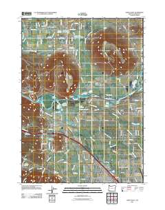
2011 Map of Sams Valley
USGS Topo · Published 2011About this map
The Rogue River flows through a landscape defined by the prominent mesas of Upper Table Rock and Lower Table Rock in this study of Jackson County. This region, characterized by the expansive Agate Desert and the fertile Rogue Valley, shows a complex network of water management through features like the Hopkins Canal, Coker Butte Lateral, and numerous private reservoirs such as Lester James Reservoir and McCormick Reservoir.
Find a feature on this map
104 named features on this map. Tap any name to fly to it.
Don’t see what you’re looking for? This feature index may not catch every label — zoom into the map to look around manually.
Map Details
Editions of this 2011 Sams Valley Map
This is the sole edition of this map. No revisions or reprints were ever made.
Other maps of this area
1891 · Ashland
USGS Topo · 1:250,000
1893 · Ashland
USGS Topo · 1:250,000
1897 · Ashland
USGS Topo · 1:250,000
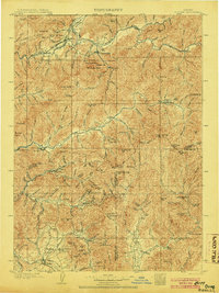
1904 · Riddle
USGS Topo · 1:125,000
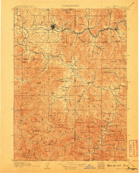
1908 · Grants Pass
USGS Topo · 1:125,000
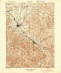
1938 · Medford
USGS Topo · 1:125,000
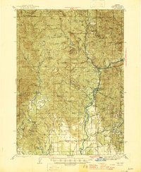
1943 · Trail
USGS Topo · 1:62,500
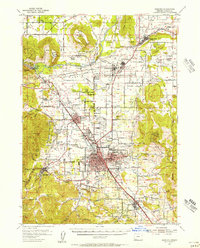
1954 · Medford
USGS Topo · 1:62,500
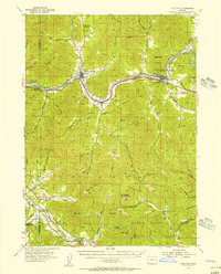
1954 · Gold Hill
USGS Topo · 1:62,500
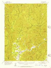
1954 · Wimer
USGS Topo · 1:62,500