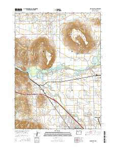
2014 Map of Sams Valley
USGS Topo · Published 2014About this map
Sams Valley and the surrounding Jackson County landscape are defined by the prominent volcanic plateaus of Upper Table Rock, Lower Table Rock, and Table Rock, which rise above the Rogue River and its accompanying wetlands. This 2014 survey documents a complex network of water management, featuring numerous named reservoirs like the Lester James Reservoir Number 3, Straus Reservoir, and the Military Slough Reservoirs. The settlement pattern follows the fertile valleys and major transit corridors, including the established communities of Tolo, Seven Oaks, and Four Corners, leading into the northern edge of Central Point. Researchers will find significant genealogical interest in the Central Point IOOF Cem and Pankey Park Cem, while the inclusion of the Agate Desert and Bommers Flat highlights the distinct geological and botanical transitions occurring as the terrain shifts away from the river toward the northern hills.
Find a feature on this map
117 named features on this map. Tap any name to fly to it.
Don’t see what you’re looking for? This feature index may not catch every label — zoom into the map to look around manually.
Map Details
Editions of this 2014 Sams Valley Map
This is the sole edition of this map. No revisions or reprints were ever made.
Other maps of this area

1891 · Ashland
USGS Topo · 1:250,000

1893 · Ashland
USGS Topo · 1:250,000

1897 · Ashland
USGS Topo · 1:250,000

1904 · Riddle
USGS Topo · 1:125,000

1908 · Grants Pass
USGS Topo · 1:125,000

1938 · Medford
USGS Topo · 1:125,000

1943 · Trail
USGS Topo · 1:62,500

1954 · Medford
USGS Topo · 1:62,500

1954 · Gold Hill
USGS Topo · 1:62,500

1954 · Wimer
USGS Topo · 1:62,500