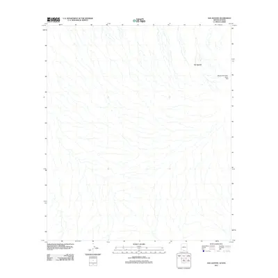
2011 Map of San Agustin
USGS Topo · Published 2011About this map
San Agustin sits in the northeastern reaches of the Chukut Kuk District, a landscape defined by an intricate network of ephemeral watercourses typical of the Sonoran borderlands. This 2011 survey illustrates the subtle topographical shifts of the desert floor, punctuated by the elevations of Morena Mountain and Horse Peak. The terrain is characterized by broad alluvial fans and washes that drain the region, showing the sparse but distinct footprint of human presence at the base of these peaks. As a modern record, it provides a precise visualization of the arid basin-and-range geography, preserving the location of small settlements and high points that have long served as landmarks for those navigating this desert environment.
Find a feature on this map
3 named features on this map. Tap any name to fly to it.
Don’t see what you’re looking for? This feature index may not catch every label — zoom into the map to look around manually.
Map Details
Editions of this 2011 San Agustin Map
This is the sole edition of this map. No revisions or reprints were ever made.
Other maps of this area

1941 · Vamori
USGS Topo · 1:62,500

1943 · Fresnal
USGS Topo · 1:125,000

1943 · Vamori
USGS Topo · 1:62,500

1954 · Sonoyta
USGS Topo · 1:250,000

1956 · Nogales
USGS Topo · 1:250,000

1958 · Nogales
USGS Topo · 1:250,000

1959 · Nogales
USGS Topo · 1:250,000
1963 · La Lesna Mts.
USGS Topo · 1:62,500

1963 · Lukeville
USGS Topo · 1:250,000
1979 · San Miguel
USGS Topo · 1:24,000