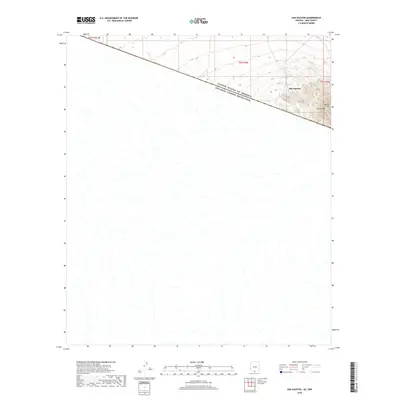
2018 Map of San Agustin
USGS Topo · Published 2018About this map
San Agustin sits at the intersection of international borders and high desert terrain in this Pima County landscape. The map area is defined by the sharp diagonal of the United States of America Estados Unidos Mexicanos border, which cuts across the arid basin. To the northeast, the topography rises significantly toward Morena Mtn and Horse Peak, providing a stark contrast to the drainage patterns that dominate the southwestern portion of the quadrangle. This 2018 survey documents the remote character of the Chukut Kuk District, where the land is primarily organized by township and range lines like t21s r5e rather than dense settlement or road networks.
Find a feature on this map
7 named features on this map. Tap any name to fly to it.
Don’t see what you’re looking for? This feature index may not catch every label — zoom into the map to look around manually.
Map Details
Editions of this 2018 San Agustin Map
This is the sole edition of this map. No revisions or reprints were ever made.
Other maps of this area

1941 · Vamori
USGS Topo · 1:62,500

1943 · Fresnal
USGS Topo · 1:125,000

1943 · Vamori
USGS Topo · 1:62,500

1954 · Sonoyta
USGS Topo · 1:250,000

1956 · Nogales
USGS Topo · 1:250,000

1958 · Nogales
USGS Topo · 1:250,000

1959 · Nogales
USGS Topo · 1:250,000
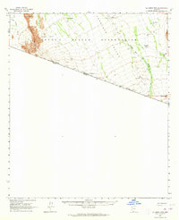
1963 · La Lesna Mts.
USGS Topo · 1:62,500

1963 · Lukeville
USGS Topo · 1:250,000
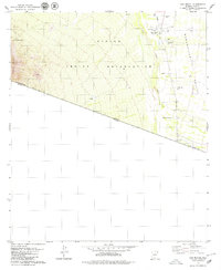
1979 · San Miguel
USGS Topo · 1:24,000