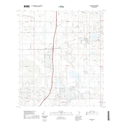
2021 Map of San Antonio
USGS Topo · Published 2021About this map
Saint Leo University anchors the eastern edge of this Pasco County landscape, situated between St. Leo and San Antonio. The area is characterized by a series of distinct water bodies including Clear Lake, Karney Lake, and Bird Island Lakes, alongside the open expanse of Thomas Prairie. This modern record reveals a mix of academic institutions and ecclesiastical sites, notably the Saint Leo Abbey Cem and Saint Joseph Cem.
Find a feature on this map
176 named features on this map. Tap any name to fly to it.
Don’t see what you’re looking for? This feature index may not catch every label — zoom into the map to look around manually.
Map Details
Editions of this 2021 San Antonio Map
This is the sole edition of this map. No revisions or reprints were ever made.
Other maps of this area

1943 · Lutz
USGS Topo · 1:24,000

1944 · Wesley Chapel
USGS Topo · 1:31,680

1944 · Lutz
USGS Topo · 1:31,680

1947 · Zephyrhills
USGS Topo · 1:24,000

1954 · Spring Lake
USGS Topo · 1:24,000

1954 · Ehren
USGS Topo · 1:24,000

1954 · San Antonio
USGS Topo · 1:24,000

1954 · Masaryktown
USGS Topo · 1:24,000

1955 · Plant City
USGS Topo · 1:250,000

1958 · Plant City
USGS Topo · 1:250,000