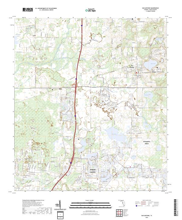
2024 Map of San Antonio
USGS Topo · Published 2024About this map
San Antonio and the neighboring community of St. Leo anchor this portion of Pasco County, a landscape defined by citrus groves, educational institutions, and a series of notable lakes. The campus of Saint Leo University sits perched above Clear Lake, while the Saint Leo Abbey Cem and Saint Joseph Cem provide significant touchpoints for local genealogical research. To the west, the rural character of Darby and the crossing at Pasco transition into more modern developments.
Find a feature on this map
142 named features on this map. Tap any name to fly to it.
Don’t see what you’re looking for? This feature index may not catch every label — zoom into the map to look around manually.
Map Details
Editions of this 2024 San Antonio Map
This is the sole edition of this map. No revisions or reprints were ever made.
Other maps of this area

1943 · Lutz
USGS Topo · 1:24,000

1944 · Wesley Chapel
USGS Topo · 1:31,680

1944 · Lutz
USGS Topo · 1:31,680

1947 · Zephyrhills
USGS Topo · 1:24,000

1954 · Spring Lake
USGS Topo · 1:24,000

1954 · Ehren
USGS Topo · 1:24,000

1954 · San Antonio
USGS Topo · 1:24,000

1954 · Masaryktown
USGS Topo · 1:24,000

1955 · Plant City
USGS Topo · 1:250,000

1958 · Plant City
USGS Topo · 1:250,000