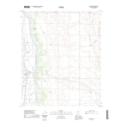
2023 Map of San Antonio
USGS Topo · Published 2023About this map
Rio Grande waters dominate this Socorro County landscape, flanked by a sophisticated network of irrigation channels including the San Antonio Ditch and Elmendorf Ditch. These waterways sustain the agricultural life around San Antonio and smaller settlements like Laborcita and Bosquecito. The map reveals a land divided by traditional land grants and modern section lines, where desert arroyos like San Pedro Arroyo meet the lush vegetation of the river valley.
Find a feature on this map
35 named features on this map. Tap any name to fly to it.
Don’t see what you’re looking for? This feature index may not catch every label — zoom into the map to look around manually.
Map Details
Editions of this 2023 San Antonio Map
This is the sole edition of this map. No revisions or reprints were ever made.
Other maps of this area

1906 · Socorro
USGS Topo · 1:62,500

1916 · La Joya
USGS Topo · 1:125,000

1948 · Carthage
USGS Topo · 1:62,500

1948 · San Antonio
USGS Topo · 1:62,500

1954 · Tularosa
USGS Topo · 1:250,000

1954 · Socorro
USGS Topo · 1:250,000

1958 · Socorro
USGS Topo · 1:250,000

1958 · Tularosa
USGS Topo · 1:250,000

1959 · Loma De Las Canas
USGS Topo · 1:24,000

1959 · Socorro
USGS Topo · 1:24,000