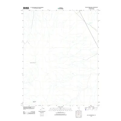
2012 Map of San Antonio Well
USGS Topo · Published 2012About this map
San Antonio Mountain rises as the dominant landmark in this arid Nye County landscape, part of the broader San Antonio Mountains range. This 2012 survey illustrates the sparse, high-desert character of the region, where water sources are critical to human activity. The map identifies the San Antonio Well located near the intersection of local routes, marking a vital point for travelers and ranchers in this part of Nevada. The drainage patterns and topography surrounding the mountain indicate the complex hydrography of the Great Basin, where seasonal runoff carves deep channels into the valley floor. The map serves as a contemporary record of this specific topography, showing the limited road infrastructure that connects this remote range to the rest of the county.
Find a feature on this map
3 named features on this map. Tap any name to fly to it.
Don’t see what you’re looking for? This feature index may not catch every label — zoom into the map to look around manually.
Map Details
Editions of this 2012 San Antonio Well Map
This is the sole edition of this map. No revisions or reprints were ever made.
Other maps of this area

1907 · Tonopah
USGS Topo · 1:250,000

1908 · Tonopah
USGS Topo · 1:250,000

1956 · Tonopah
USGS Topo · 1:250,000

1959 · Tonopah
USGS Topo · 1:250,000

1961 · Tonopah
USGS Topo · 1:62,500

1961 · Lone Mtn
USGS Topo · 1:62,500

1962 · Tonopah
USGS Topo · 1:250,000

1963 · Baxter Spring
USGS Topo · 1:62,500

1964 · San Antonio Ranch
USGS Topo · 1:62,500
1987 · Henrys Well
USGS Topo · 1:24,000