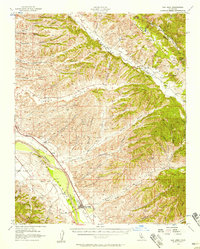
1956 Map of San Ardo
USGS Topo · Published 1958About this map
The Salinas River corridor defines the western edge of this mid-century landscape, serving as the primary artery for both the Southern Pacific railroad and local settlement. The community of San Ardo serves as the focal point, anchored by the San Ardo Church and a nearby Cemetery, while smaller stops like Docas and Lynch trace the path of the rail line. To the east, the terrain transitions into a complex network of canyons and ridges, including Peachtree Valley and the prominent Mustang Ridge.
Find a feature on this map
56 named features on this map. Tap any name to fly to it.
Don’t see what you’re looking for? This feature index may not catch every label — zoom into the map to look around manually.
Map Details
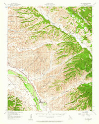
Editions of this 1956 San Ardo Map
2 editions found
Other maps of this area

1912 · San Ardo
USGS Topo · 1:31,680

1915 · Priest Valley
USGS Topo · 1:125,000

1919 · San Miguel
USGS Topo · 1:62,500

1919 · King City
USGS Topo · 1:62,500

1919 · Bryson
USGS Topo · 1:62,500

1919 · Bradley
USGS Topo · 1:62,500

1921 · Metz
USGS Topo · 1:62,500

1939 · King City
USGS Topo · 1:62,500

1940 · Metz
USGS Topo · 1:62,500

1941 · Priest Valley
USGS Topo · 1:62,500