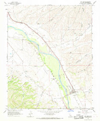
1967 Map of San Ardo
USGS Topo · Published 1968About this map
San Ardo serves as the focal point of this mid-1960s landscape, situated along the Southern Pacific rail line and the Salinas River. The map documents a diverse local economy, with the agricultural significance of the valley floor evidenced by Grain Elevators Storage Bins, while several Oil Wells and a Gravel Pit indicate active resource extraction in the surrounding hills. To the east of the river, the town's infrastructure includes a local Cem, a Radio Facility, and a Landing Strip.
Find a feature on this map
28 named features on this map. Tap any name to fly to it.
Don’t see what you’re looking for? This feature index may not catch every label — zoom into the map to look around manually.
Map Details
Editions of this 1967 San Ardo Map
4 editions found
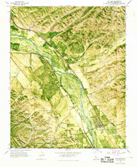

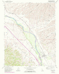
Other maps of this area

1912 · San Ardo
USGS Topo · 1:31,680

1915 · Priest Valley
USGS Topo · 1:125,000

1919 · King City
USGS Topo · 1:62,500

1919 · Bryson
USGS Topo · 1:62,500

1919 · Bradley
USGS Topo · 1:62,500

1939 · King City
USGS Topo · 1:62,500

1941 · San Ardo
USGS Topo · 1:62,500

1941 · Bradley
USGS Topo · 1:62,500

1941 · Bryson
USGS Topo · 1:62,500

1942 · Bryson
USGS Topo · 1:62,500