
1967 Map of San Ardo
USGS Topo · Published 1983About this map
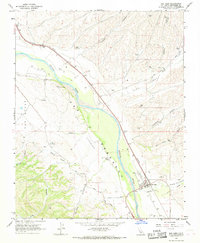
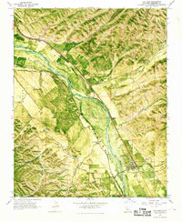
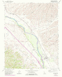
San Ardo serves as the focal point of this Monterey County landscape, positioned where the Southern Pacific railroad and U.S. 101 parallel the broad course of the Salinas River. The map captures an era of agricultural and industrial utility, evidenced by the cluster of Grain Elevators Storage Bins and a Landing Strip situated just north of the town site. The rugged canyon topography on either side of the river valley is marked by family and descriptive place names such as Paris Valley, Jim Lawson Glutch, and Pancho Rico Creek.
Find a feature on this map
25 named features on this map. Tap any name to fly to it.
Don’t see what you’re looking for? This feature index may not catch every label — zoom into the map to look around manually.
Map Details
Editions of this 1967 San Ardo Map
4 editions found
Other maps of this area

1912 · San Ardo
USGS Topo · 1:31,680

1915 · Priest Valley
USGS Topo · 1:125,000

1919 · King City
USGS Topo · 1:62,500

1919 · Bryson
USGS Topo · 1:62,500

1919 · Bradley
USGS Topo · 1:62,500

1939 · King City
USGS Topo · 1:62,500

1941 · San Ardo
USGS Topo · 1:62,500

1941 · Bradley
USGS Topo · 1:62,500

1941 · Bryson
USGS Topo · 1:62,500

1942 · Bryson
USGS Topo · 1:62,500