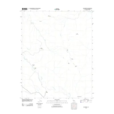
2012 Map of San Benito
USGS Topo · Published 2012About this map
The San Benito River carves a path through this central California landscape, anchoring a region defined by steep topography and isolated homesteads. The small settlement of San Benito sits near the southern edge, connected to the wider world by the San Benito Lateral and Willow Creek Rd. Evidence of rural land use appears in the presence of Wilkinson Ranch to the northwest and Buffs Ranch further east, suggesting a history of cattle ranching or large-acreage landholding.
Find a feature on this map
20 named features on this map. Tap any name to fly to it.
Don’t see what you’re looking for? This feature index may not catch every label — zoom into the map to look around manually.
Map Details
Editions of this 2012 San Benito Map
This is the sole edition of this map. No revisions or reprints were ever made.
Other maps of this area

1913 · Panoche
USGS Topo · 1:125,000

1915 · Priest Valley
USGS Topo · 1:125,000

1919 · San Benito
USGS Topo · 1:62,500

1921 · Metz
USGS Topo · 1:62,500

1931 · San Benito
USGS Topo · 1:62,500

1940 · Metz
USGS Topo · 1:62,500

1940 · San Benito
USGS Topo · 1:62,500

1943 · Hernandez Valley
USGS Topo · 1:62,500

1944 · Hernandez Valley
USGS Topo · 1:62,500

1944 · Panoche Valley
USGS Topo · 1:62,500