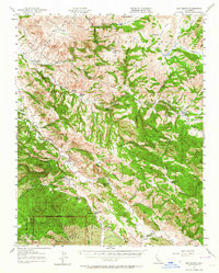
1957 Map of San Benito
USGS Topo · Published 1964About this map
Pinnacles National Monument anchors the southern portion of this landscape, where the jagged volcanic terrain meets the San Benito River valley. The map documents a predominantly ranching economy during the mid-20th century, with numerous named family holdings including McCreery Ranch, Elkhorn Ranch, and Melendy Ranch scattered along the Tres Pinos Creek and its many tributary canyons. This network of ranches supported a series of rural education centers, including Bear Valley School and the Cottonwood School, the latter already noted as abandoned by the late 1950s.
Find a feature on this map
76 named features on this map. Tap any name to fly to it.
Don’t see what you’re looking for? This feature index may not catch every label — zoom into the map to look around manually.
Map Details
Editions of this 1957 San Benito Map
2 editions found
Other maps of this area

1913 · Panoche
USGS Topo · 1:125,000

1915 · Soledad
USGS Topo · 1:62,500

1915 · Priest Valley
USGS Topo · 1:125,000

1919 · San Benito
USGS Topo · 1:62,500

1919 · Hollister
USGS Topo · 1:48,000

1921 · Gonzales
USGS Topo · 1:62,500

1921 · Metz
USGS Topo · 1:62,500

1921 · Hollister
USGS Topo · 1:62,500

1922 · Quien Sabe
USGS Topo · 1:62,500

1923 · Hollister
USGS Topo · 1:62,500