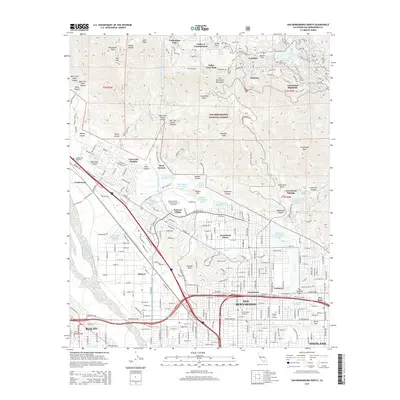
2015 Map of San Bernardino North
USGS Topo · Published 2015About this map
The San Bernardino mountain front meets the expanding urban grid of the Inland Empire in this detailed survey. Residential developments like University Heights and Serrano Village flank the California State University-San Bernardino campus, while the geological presence of the San Andreas Fault underscores the valley floor near Del Rosa and Valencia. The map tracks the complex water infrastructure essential to the region, including the Governor Edmund G Brown E Br California Aqueduct and numerous catchments like the Sweetwater Percolation Basin and Lynwood Basins.
Find a feature on this map
77 named features on this map. Tap any name to fly to it.
Don’t see what you’re looking for? This feature index may not catch every label — zoom into the map to look around manually.
Map Details
Editions of this 2015 San Bernardino North Map
This is the sole edition of this map. No revisions or reprints were ever made.
Other maps of this area

1896 · San Bernardino
USGS Topo · 1:62,500

1898 · San Bernardino
USGS Topo · 1:62,500

1899 · Redlands
USGS Topo · 1:62,500

1901 · Southern California Sheet No. 1
USGS Topo · 1:250,000

1901 · San Bernardino
USGS Topo · 1:62,500

1901 · Redlands
USGS Topo · 1:62,500

1902 · Deep Creek
USGS Topo · 1:62,500

1902 · Hesperia
USGS Topo · 1:62,500

1904 · Southern California Sheet No. 1
USGS Topo · 1:250,000

1936 · Devore
USGS Topo · 1:31,680