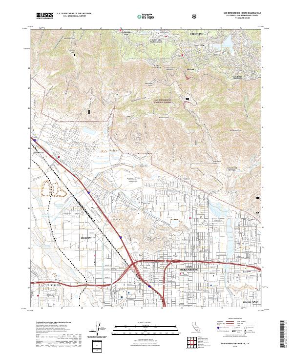
2021 Map of San Bernardino North
USGS Topo · Published 2021About this map
San Bernardino National Forest dominates the northern half of this 2021 study, where the steep canyons of the Transverse Ranges meet the urban edge of the Inland Empire. The interface between the wilderness and development is starkly defined along the foot of the mountains, particularly where Badger Canyon and Waterman Canyon descend toward the valley floor. High-altitude mountain communities like Crestline, Valley of Enchantment, and Skyland surround Lake Gregory, while the lowlands are characterized by the industrial and residential grid of San Bernardino and Muscoy.
Find a feature on this map
75 named features on this map. Tap any name to fly to it.
Don’t see what you’re looking for? This feature index may not catch every label — zoom into the map to look around manually.
Map Details
Editions of this 2021 San Bernardino North Map
This is the sole edition of this map. No revisions or reprints were ever made.
Other maps of this area

1896 · San Bernardino
USGS Topo · 1:62,500

1898 · San Bernardino
USGS Topo · 1:62,500

1899 · Redlands
USGS Topo · 1:62,500

1901 · Southern California Sheet No. 1
USGS Topo · 1:250,000

1901 · San Bernardino
USGS Topo · 1:62,500

1901 · Redlands
USGS Topo · 1:62,500

1902 · Deep Creek
USGS Topo · 1:62,500

1902 · Hesperia
USGS Topo · 1:62,500

1904 · Southern California Sheet No. 1
USGS Topo · 1:250,000

1936 · Devore
USGS Topo · 1:31,680