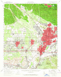
1954 Map of San Bernardino
USGS Topo · Published 1965About this map
Industrial expansion and postwar suburban growth define this mid-century portrait of San Bernardino and the surrounding San Bernardino Valley. The map documents a critical period of infrastructure development, where the legacy of the Pacific Electric railway and the massive mainline routes of the Union Pacific and Southern Pacific intersect with a burgeoning road network including Foothill Blvd and Valley Blvd. To the southeast, Norton Air Force Base stands as a significant military installation, while the northern margins show the transition into the San Bernardino Mountains near Lake Gregory.
Find a feature on this map
103 named features on this map. Tap any name to fly to it.
Don’t see what you’re looking for? This feature index may not catch every label — zoom into the map to look around manually.
Map Details
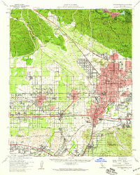
Editions of this 1954 San Bernardino Map
2 editions found
Other maps of this area

1896 · San Bernardino
USGS Topo · 1:62,500

1897 · Cucamonga
USGS Topo · 1:62,500

1898 · San Bernardino
USGS Topo · 1:62,500

1899 · Redlands
USGS Topo · 1:62,500

1900 · Cucamonga
USGS Topo · 1:62,500

1901 · Southern California Sheet No. 1
USGS Topo · 1:250,000

1901 · San Bernardino
USGS Topo · 1:62,500

1901 · Redlands
USGS Topo · 1:62,500

1901 · Elsinore
USGS Topo · 1:125,000

1901 · Riverside
USGS Topo · 1:62,500