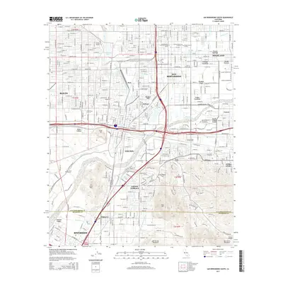
2015 Map of San Bernardino South
USGS Topo · Published 2015About this map
The Santa Ana River Floodway and San Timoteo Wash anchor the complex hydrology of this Southern California corridor, where the Governor Edmund G. Brown Jr California Aqueduct cuts across the valley floor. Local transit and industry are defined by the Southern Pacific rail lines and the presence of the W Riverside Canal, illustrating the region's reliance on managed water systems.
Find a feature on this map
72 named features on this map. Tap any name to fly to it.
Don’t see what you’re looking for? This feature index may not catch every label — zoom into the map to look around manually.
Map Details
Editions of this 2015 San Bernardino South Map
This is the sole edition of this map. No revisions or reprints were ever made.
Other maps of this area

1896 · San Bernardino
USGS Topo · 1:62,500

1898 · San Bernardino
USGS Topo · 1:62,500

1899 · Redlands
USGS Topo · 1:62,500

1901 · Southern California Sheet No. 1
USGS Topo · 1:250,000

1901 · San Bernardino
USGS Topo · 1:62,500

1901 · Redlands
USGS Topo · 1:62,500

1901 · Elsinore
USGS Topo · 1:125,000

1901 · Riverside
USGS Topo · 1:62,500

1904 · Southern California Sheet No. 1
USGS Topo · 1:250,000

1936 · Devore
USGS Topo · 1:31,680