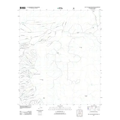
2012 Map of San Cayetano Mountains
USGS Topo · Published 2012About this map
The San Cayetano Mountains dominate the central landscape of this Santa Cruz County survey, rising to the prominent San Cayetano Peak. The map documents a blend of traditional ranching heritage and modern residential development. Established holdings such as Bergier Ranch and Salero Ranch sit alongside a complex network of newer residential ways like Camino Talavera and Via Fandango in the northwestern sector.
Find a feature on this map
87 named features on this map. Tap any name to fly to it.
Don’t see what you’re looking for? This feature index may not catch every label — zoom into the map to look around manually.
Map Details
Editions of this 2012 San Cayetano Mountains Map
This is the sole edition of this map. No revisions or reprints were ever made.
Other maps of this area

1904 · Patagonia
USGS Topo · 1:125,000

1905 · Patagonia
USGS Topo · 1:125,000

1905 · Nogales
USGS Topo · 1:125,000

1920 · Arivaca
USGS Topo · 1:125,000

1921 · Old Glory
USGS Topo · 1:125,000

1922 · Agus Caliente
USGS Topo · 1:62,500

1933 · Calabasas
USGS Topo · 1:62,500

1939 · Tubac
USGS Topo · 1:62,500

1942 · Ruby
USGS Topo · 1:62,500

1943 · Old Glory
USGS Topo · 1:125,000