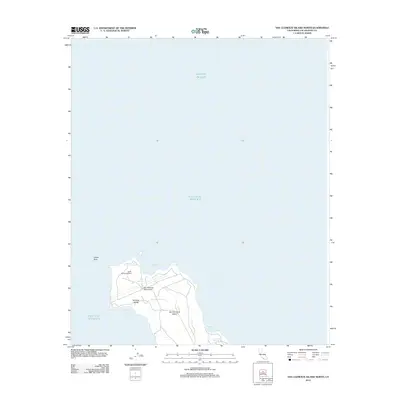
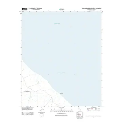
2012 Map of San Clemente Island North
USGS Topo · Published 2012About this map
San Clemente Island marks the southwestern boundary of the Los Angeles County maritime landscape, serving as a critical military and navigational outpost in the Pacific Ocean. This survey highlights the northern tip of the island, dominated by the airfield operations at San Clemente Island NALF. The maritime heritage of the island is anchored by the North Head Lighthouse, which guards the approach to Northwest Harbor. To the south, the island narrows at a point known as The Isthmus, a geological feature that separates the primary coastal harbors. The landscape transitions into the distinctive Shifting Sands area, while the surrounding waters include Wilson Cove and West Cove. Off the northern coast, the solitary Castle Rock stands as a prominent landmark for vessels navigating the island's perimeter.
Find a feature on this map
10 named features on this map. Tap any name to fly to it.
Don’t see what you’re looking for? This feature index may not catch every label — zoom into the map to look around manually.
Map Details
Editions of this 2012 San Clemente Island North Map
This is the sole edition of this map. No revisions or reprints were ever made.
Other maps of this area
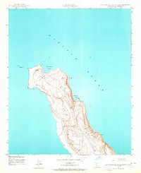
1943 · San Clemente Island North
USGS Topo · 1:24,000

1949 · Long Beach
USGS Topo · 1:250,000
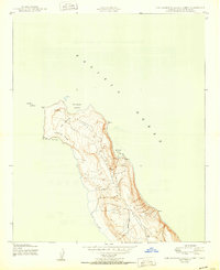
1950 · San Clemente Island North
USGS Topo · 1:24,000

1957 · Long Beach
USGS Topo · 1:250,000

1957 · San Clemente Island
USGS Topo · 1:250,000

1958 · Long Beach
USGS Topo · 1:250,000

1960 · Long Beach
USGS Topo · 1:250,000

1980 · San Clemente Island
USGS Topo · 1:100,000
1981 · Santa Catalina Island
USGS Topo · 1:100,000
2012 · San Clemente Island Central OE E
USGS Topo · 1:24,000