
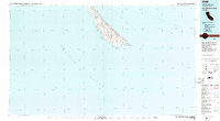
1980 Map of San Clemente Island
USGS Topo · Published 1980About this map
San Clemente Island appears here as a specialized military and research landscape in the Southern California Bight. This 1980 study, revised from earlier aerial photography, highlights the strategic role of the Naval Ocean Systems Center Island Facility and the infrastructure required for offshore operations, including a prominent Landing Strip. The map detail captures the island's coastline from the northernmost North Pt down to the southern reaches of Pyramid Cove.
Find a feature on this map
18 named features on this map. Tap any name to fly to it.
Don’t see what you’re looking for? This feature index may not catch every label — zoom into the map to look around manually.
Map Details
Editions of this 1980 San Clemente Island Map
2 editions found
Other maps of this area

1902 · Capistrano
USGS Topo · 1:125,000

1906 · Capistrano
USGS Topo · 1:125,000
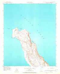
1943 · San Clemente Island North
USGS Topo · 1:24,000
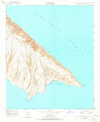
1943 · San Clemente Island South
USGS Topo · 1:24,000

1943 · San Clemente Island Central
USGS Topo · 1:24,000

1947 · Santa Ana
USGS Topo · 1:250,000

1949 · Long Beach
USGS Topo · 1:250,000

1949 · Santa Ana
USGS Topo · 1:250,000
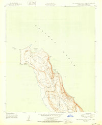
1950 · San Clemente Island North
USGS Topo · 1:24,000

1950 · San Clemente Island Central
USGS Topo · 1:24,000